
About the Map:
Title: Ride of the Rising Sun
Date Created: March 2020
Background
For this map, I was tasked with creating a 21 day bike route through a location of my choice. Requirements for
the map included: the route be over 3000 km long, the visualization of elevation in the area via shaded relief creation in ArcMap and Photoshop, the visualization of
a clear visual hierarchy, bathymetry for oceans, as well as labels for administrative areas and natural landmarks. I must admit, I have rarely ever
been as frustrated at a piece of software than when I was creating my relief layers in ArcMap on my PC. I could feel my heart dying each time the dreaded
"ArcMap is Not Responding" message knowing I hadn't saved my changes in a while.
Description
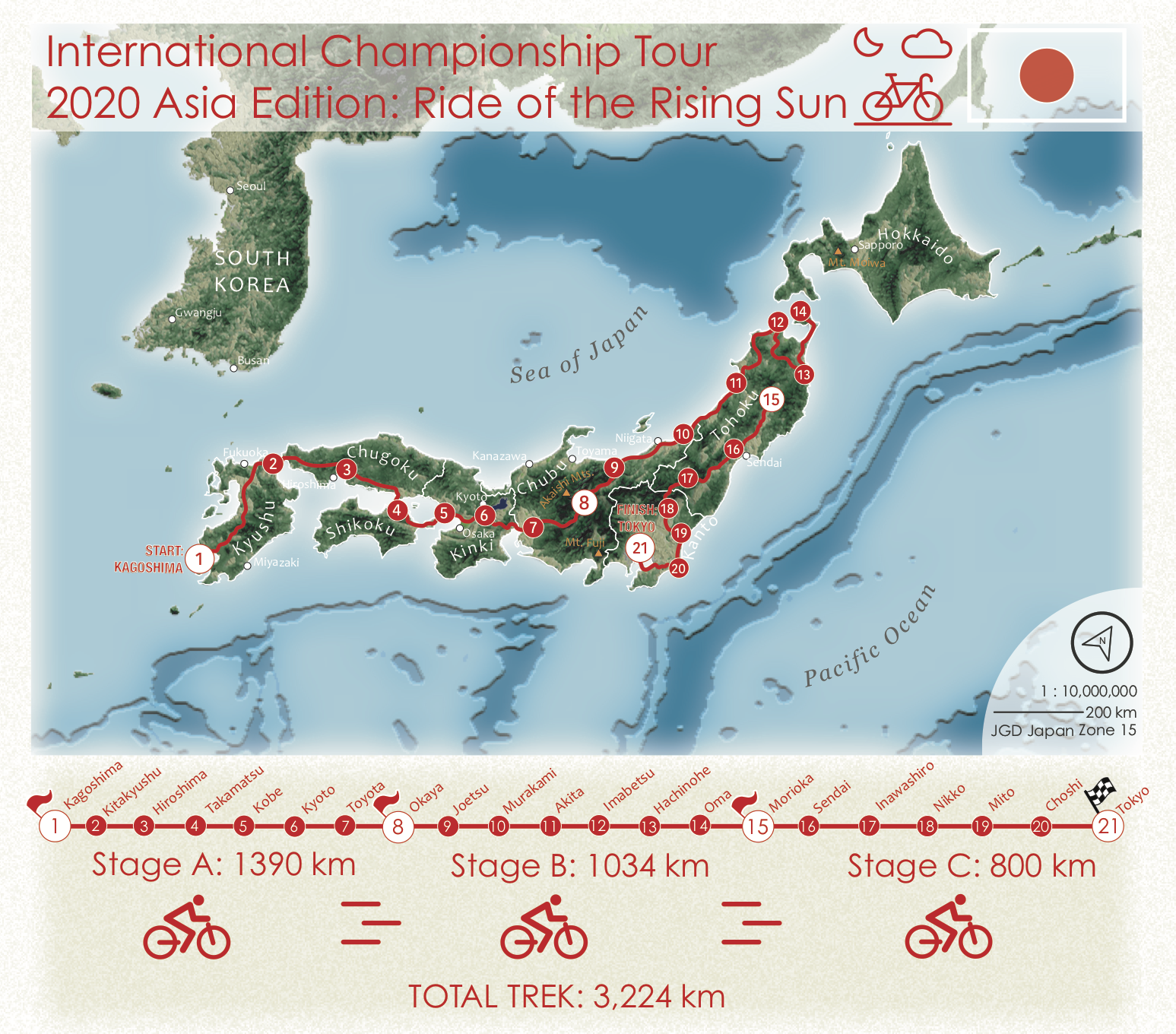
For my map, I chose to visualize a race that would encompass all of mainland Japan. Just based on the shape of Japan, I thought the
route would be aesthetically pleasing so long as I made the right color choices. Surprisingly to be however, I found that Japan was primarily just forest and farmland
as described from the Land Cover Dataset I was working with, which had me worried in regards to how the terrain would appear once exported to illustrator. Fortunately,
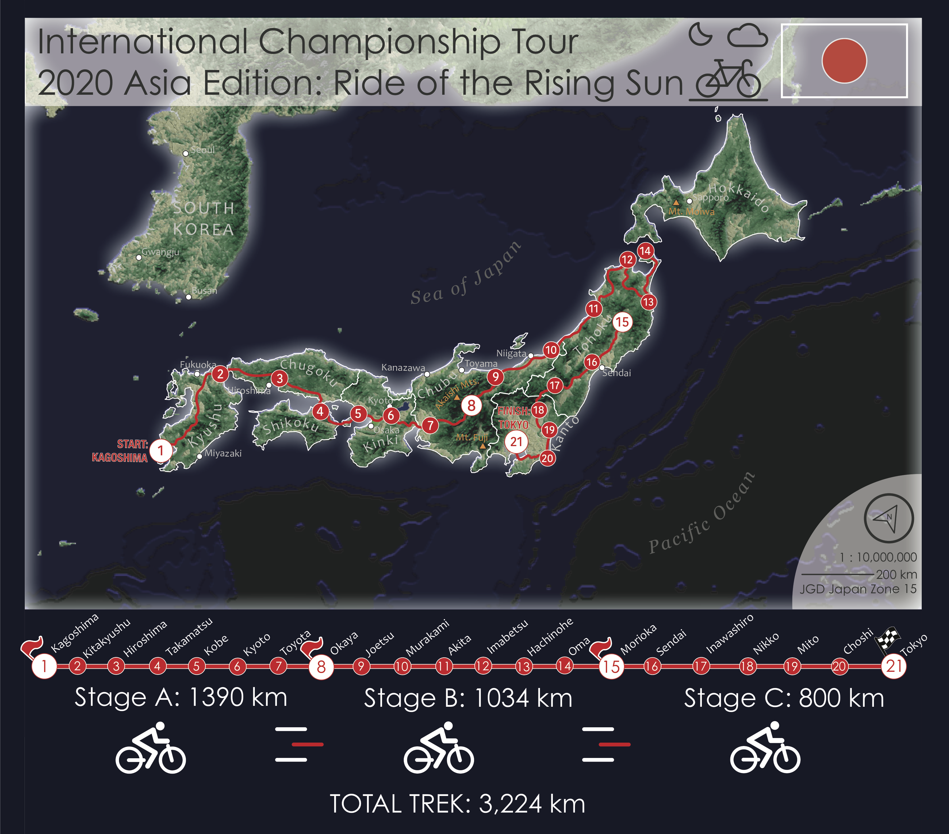
I found that the consistent rolling greens worked well with the red race route that would lie over it. My first iteration of this map was actually the darker toned
one seen above, however I decided to swap everything to a much lighter and "beach-vibe" palette after watching a youtube video on scuba diving in Okinawa!
In the end, I was stuck between which one I would actually submit, so I left it to an instagram story poll which resulted in about 65% of voters preferring the light-mode
version.


